Are you trying to lodge an enquiry in a new development area and can’t find it when you carry out a location search? The street maps used on the referral service address search are updated quarterly. However, state government maps will often include details of new developments.
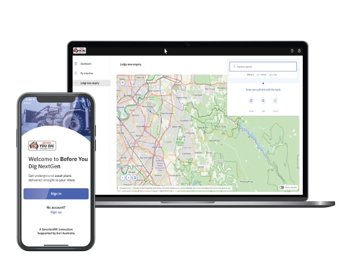
When carrying out an address search on the system for a new enquiry, BYDA users have the option to use different base maps. You can select a different base map for your project area by clicking the circle with the four squares in it at the bottom left-hand corner while lodging a new enquiry.
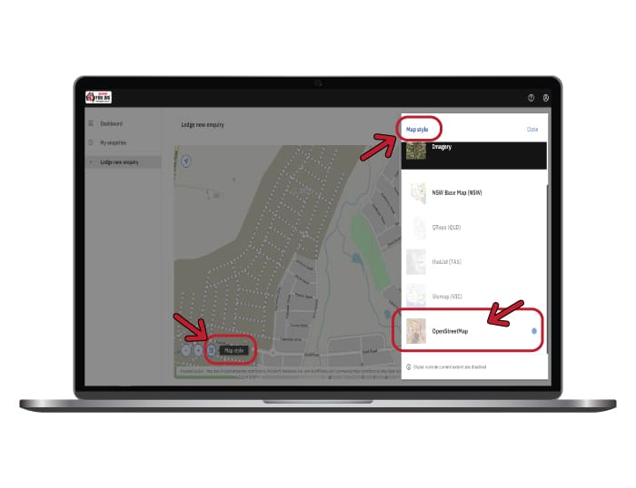
OpenStreetMap is a base map option that we recommend using when searching for a dig site in a new development area. OpenStreetMap is a free, editable map of the whole world that is continuously built by volunteers largely from scratch and released with an open-content license. You can read more about working with maps via the BYDA help page.
However, there are also many ways to find your job site. For example, using your current location, pan and zoom the map, search by address, enter GPS coordinates or search by lot number. You can find information about this here.
If you would like to access Lot & Plan finders, check out the below links for the following states:
Still having trouble? Why not visit our help page or contact us via the BYDA website